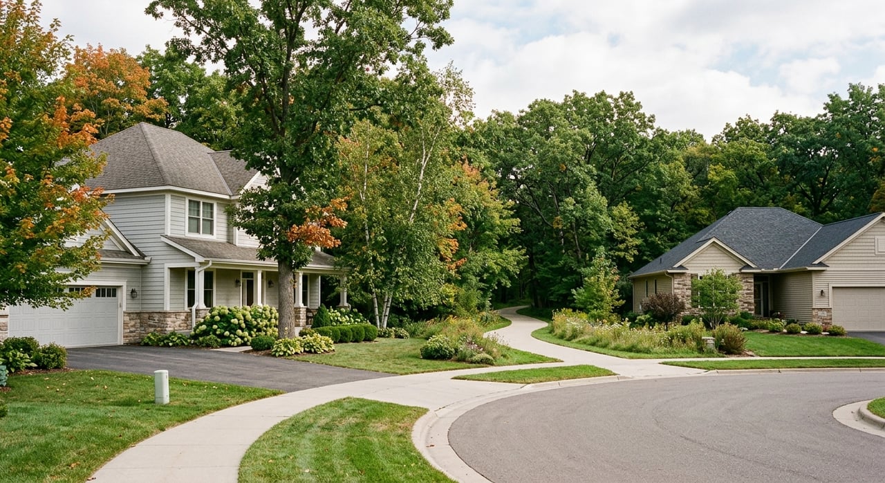
If you picture Littleton outdoor life as one big lake or one signature park, you are missing what makes this area work so well day to day. Littleton’s real advantage is how trails, river access, lakes, and easy green spaces fit into your routine, whether you want a quick evening walk or a full weekend outside. If you are getting to know Littleton as a buyer, seller, or future resident, understanding these distinctions helps you see how people actually use the area. Let’s dive in.
Littleton outdoor life starts with trails
Littleton’s outdoor identity is organized around connected trail corridors, not just standalone parks. According to the City of Littleton’s Littleton Linkages Trail Study, the backbone of the local network includes the High Line Canal and Mary Carter Greenway, with Big Dry Creek, C-470, and Lee Gulch also serving the community.
That matters because these trails are framed as access routes for daily life, not just recreation. The city specifically identifies trails as infrastructure that can connect you to parks, shopping, school, and work, which gives Littleton a more integrated outdoor feel than places where green space is limited to isolated destinations.
South Suburban Parks and Recreation also supports that connected design. It maintains more than 125 miles of trails across the district and emphasizes connectivity that helps people reach destinations without dealing with busy cross streets.
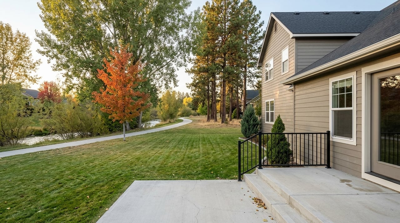
For many residents, that means outdoor time can be built into an ordinary week. A morning bike ride, an after-dinner walk, or a weekend family outing often starts close to home instead of requiring a mountain trip.
Mary Carter Greenway is a major corridor
If there is one trail that best captures how Littleton moves, it is the Mary Carter Greenway. South Suburban’s trail map lists the Mary Carter Greenway Trail at 8.5 miles, which helps explain why it functions more like a true corridor than a short neighborhood loop.
It is also one of the busiest regional multi-use trails in the metro area. South Suburban reports more than 300,000 recorded users annually within South Platte Park, which shows how important this route is for both recreation and everyday use.
Regional investment has expanded access along this corridor as well. The South Platte Working Group reports 50 acres of open space acquired, six bike and pedestrian bridges built, six trailheads added, and 3.2 miles of new trail created along the South Platte corridor.
Littleton is still improving those connections. The city notes ongoing connectivity work, including the Littleton Linkages Trail Study, completed in March 2024, and the Mineral Station West multimodal project that improves connections between RTD Mineral Station, Carson Nature Center, and the Mary Carter Greenway Trail.
High Line Canal adds another key route
The High Line Canal is another core part of the local network. South Suburban’s trail map lists its district segment at 9.01 miles, reinforcing its role as a substantial everyday route rather than a short out-and-back path.
Together, the High Line Canal and Mary Carter Greenway help define how people experience outdoor life in Littleton. Instead of relying on one central park, you have multiple long corridors that support walking, biking, and access across a broader area.
For homebuyers, this is one of those lifestyle details that is easy to overlook at first. Once you understand the system, though, you can better picture how location within Littleton may shape your day-to-day routines.
South Platte Park is the riverfront core
When people talk about nature access in Littleton, South Platte Park deserves special attention. South Suburban describes it as a natural oasis with about 880 acres of open space along the South Platte River and the Mary Carter Greenway Trail.
The park protects 2.5 miles of the South Platte River, seven lakes, four miles of natural-surface hiking trails, and 3.5 miles of paved regional trail connections. That mix gives the area a very different feel from a traditional neighborhood park.
This is the place to think of as Littleton’s river-and-lakes landscape. It supports repeat visits because it combines paved access, natural trails, fishing opportunities, and a setting that feels more expansive than you might expect so close to town.
South Platte Park is also built for regular use. South Suburban lists park hours as sunrise to sunset for lots, lakes, and trails, while Greenway Trail commuter use is allowed from 5 a.m. to 11 p.m.
What you can actually do at South Platte Park
South Platte Park works best when you understand the difference between river use and lake use. South Suburban allows non-motorized vessels on the river only, while the lakes are shore-use only.
Fishing is a major draw here. Visitors can fish for smallmouth bass and trout in five of the lakes, which makes the park especially appealing if you want easy fishing access without committing to a larger reservoir outing.
In practical terms, this is not a motor-boating lake destination. It is better understood as a fishing, walking, wildlife, and river-access setting that supports relaxed repeat visits throughout the week.
Carson Nature Center adds family-friendly access
Within South Platte Park, the Carson Nature Center gives the area an educational and family-oriented layer. South Suburban says the center includes live animals, an interactive South Platte River table, and programming such as wildlife watching, nature walks, and field trips.
That makes the park feel more approachable if you want a low-pressure outdoor outing with built-in interpretation. It is not just a trail stop. It is also a place where you can spend time learning more about the river environment and local wildlife.
Chatfield is Littleton’s true lake life
If you are really asking about lake life near Littleton, the clearest answer is Chatfield State Park. Colorado Parks and Wildlife identifies Chatfield as a 5,381-acre state park, and its reservoir is the area’s main big-water destination.
This is where the experience shifts from riverside trails and shore fishing to a broader menu of water recreation. CPW says Chatfield offers fishing, ice fishing, boating, paddleboarding, swimming, water skiing, horseback riding, camping, and wildlife viewing.
The reservoir is the park’s main attraction. CPW lists it at 1,355 surface acres on one page and rounds it to 1,500 surface acres on another, so the safest takeaway is simple: Chatfield is the large-scale water destination that serves Littleton and the surrounding region.
The park also feels like more than a quick stop. CPW notes amenities such as campgrounds, a marina, boat rentals, horse rentals, a model airplane field, and a floating restaurant, which gives Chatfield more of a full-day or full-weekend feel.
Trails and timing at Chatfield
Chatfield is not only about the water. CPW describes it as a large trail-and-water destination, though official pages vary on exact trail mileage.
For most visitors, the exact number matters less than the experience. You can think of Chatfield as a place where trails, shoreline access, and activity options all come together in one large park setting.
The park is open daily from 5 a.m. to 10 p.m. CPW also notes that leashed dogs and horses are allowed, and boating requires standard checks and aquatic nuisance species compliance for reservoir users.
Hudson Gardens is the easy option
Not every outdoor outing needs to be a production. Hudson Gardens & Event Center gives Littleton an easy, lower-planning option for time outside.
Owned and operated by South Suburban Parks and Recreation, Hudson Gardens covers 30 acres of garden exhibits, pathways, open spaces, children’s play areas, and event venues just minutes from downtown Littleton. Admission is free 365 days a year, and the grounds are open from sunrise to sunset.
One reason it fits so naturally into Littleton life is access. Guests can enter from South Santa Fe Drive or directly from the Mary Carter Trail, which ties the gardens into the broader trail system instead of making them feel separate.
This works well for shorter, repeatable outings. You can stroll nature paths, see water gardens and public art, and use the coffee shop located at the Mary Carter Greenway Trail entrance.
How to think about Littleton lake life
The easiest way to understand Littleton is to separate the outdoor experience into three layers. Each one serves a different purpose, and knowing the difference helps set the right expectations.
| Outdoor option | Best way to think about it | Typical use |
|---|---|---|
| Trail network | Connected daily-life infrastructure | Walking, biking, commuting, park access |
| South Platte Park | Riverfront nature and fishing access | Shore fishing, hiking, river access, nature outings |
| Chatfield State Park | Big-water regional destination | Boating, swimming, paddling, camping, full-day recreation |
| Hudson Gardens | Easy, free green-space outing | Short walks, family outings, casual visits |
If someone says they love Littleton for its outdoor lifestyle, they may mean different things. For one person, it is the ability to hop on a trail after work. For another, it is access to South Platte Park for fishing or nature walks. For others, it is being close to Chatfield when they want true reservoir time.
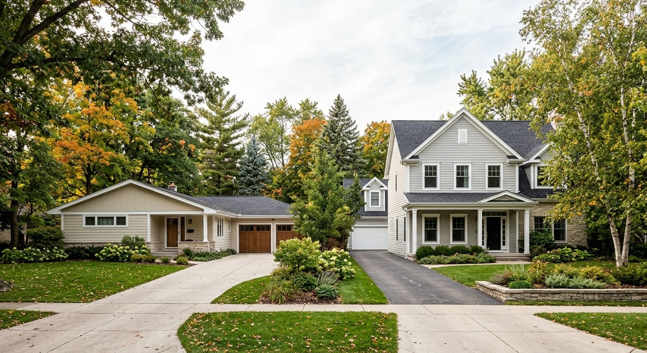
Why this matters when choosing a home
Lifestyle is often one of the biggest reasons people focus on Littleton. Outdoor access is part of that picture, but the details matter because not every part of “lake life” is the same.
If you want trail connectivity woven into daily routines, locations near the city’s major corridors may stand out. If you care more about regular access to fishing, walking trails, and a natural river setting, South Platte Park may shape your search differently. If your priority is boating and larger water recreation, proximity to Chatfield may matter more.
That kind of neighborhood-level perspective is where local guidance becomes valuable. When you understand how people actually use Littleton’s trails, river spaces, and lake destinations, it becomes easier to find a home that supports the way you want to live.
If you are exploring Littleton or thinking about making a move in the South Metro area, Mindi Sanders can help you match your home search to the lifestyle you want, from trail-connected neighborhoods to homes with easy access to the area’s most-used outdoor destinations.
FAQs
What are the main trails in Littleton, CO?
- The City of Littleton identifies the High Line Canal and Mary Carter Greenway as backbone routes, with Big Dry Creek, C-470, and Lee Gulch also serving the community.
What is South Platte Park in Littleton, CO known for?
- South Platte Park is known for river access, fishing, lakes, natural-surface hiking trails, and paved regional trail connections along the South Platte River.
Is South Platte Park in Littleton, CO a boating lake destination?
- No. South Suburban allows non-motorized vessels on the river only, while the lakes are shore-use only.
Where is the best lake life near Littleton, CO?
- For true big-water lake recreation, Chatfield State Park is the main destination near Littleton, with boating, paddleboarding, swimming, fishing, and other reservoir activities.
Is Hudson Gardens in Littleton, CO free to visit?
- Yes. Hudson Gardens is free 365 days a year and open from sunrise to sunset.
Why do Littleton, CO trails matter for homebuyers?
- Littleton’s trail network functions as connected access infrastructure, which can shape how easily you reach parks, outdoor spaces, and daily destinations from home.